
Source review
Confirm scope, accuracy, formats, coordinates and intended use.
point cloud modeling services
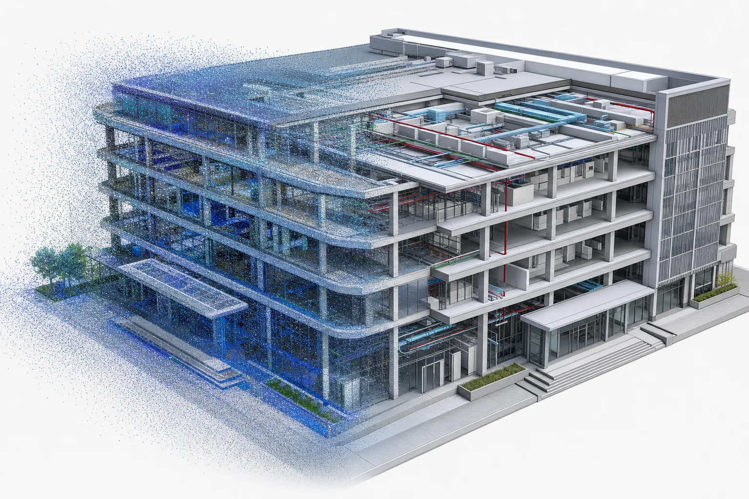
We convert discrete scan data into measurable, editable and structured models ready for BIM, visualization and real-time engines.
Capabilities
Source data, accuracy and intended use define the workflow. These capabilities can be combined without forcing the project into a fixed package.
Check coordinate systems, registration, point density, missing areas, reflective noise and data partitions.
Rebuild walls, slabs, openings, structure, piping and major equipment from supported scan evidence.
Define measurable tolerances for overall form, critical dimensions and component location before batch work.
Organize outputs by floor, discipline or system and include review views and an unresolved-issues list.
Delivery Standard
Specific values depend on the source data and target environment. Applicable criteria are agreed at the start instead of relying on vague quality labels.
| Typical input | LAS, LAZ, E57, PLY and PTS |
|---|---|
| Primary output | BIM, mesh models and engine assets |
| Quality focus | As-built reconstruction and structure |
| Asset hierarchy | Objects organized by building, floor, system, equipment or component |
| Runtime fit | Optimization for the target browser, desktop or mobile environment |
| Review method | Pilot approval, milestone previews, issue list and final validation |
Workflow
A representative pilot validates source quality, accuracy, visual language, hierarchy and performance early in the project.
Confirm scope, accuracy, formats, coordinates and intended use.
Lock hierarchy, detail, materials and performance on a representative asset.
Model, review and preview assets against the agreed manifest.
Verify files, versions, hierarchy, performance and delivery notes.
FAQ
It depends on capture equipment, station layout, registration, density and occlusion. A representative area should be tested before setting tolerances.
LAS, LAZ, E57, PTS and PLY can be assessed. Large datasets should include coordinate and capture notes.
Drawings, photos or field dimensions can supplement them. Unsupported geometry is identified as inferred rather than treated as scan evidence.
Usually yes for browsers and digital twins. Data should be partitioned around space, view distance and object-query requirements.
Project Contact
Include the asset scope, available source data, intended use and preferred formats. We will identify the right modeling and engine workflow.