
Source review
Confirm scope, accuracy, formats, coordinates and intended use.
BIM to 3D model conversion
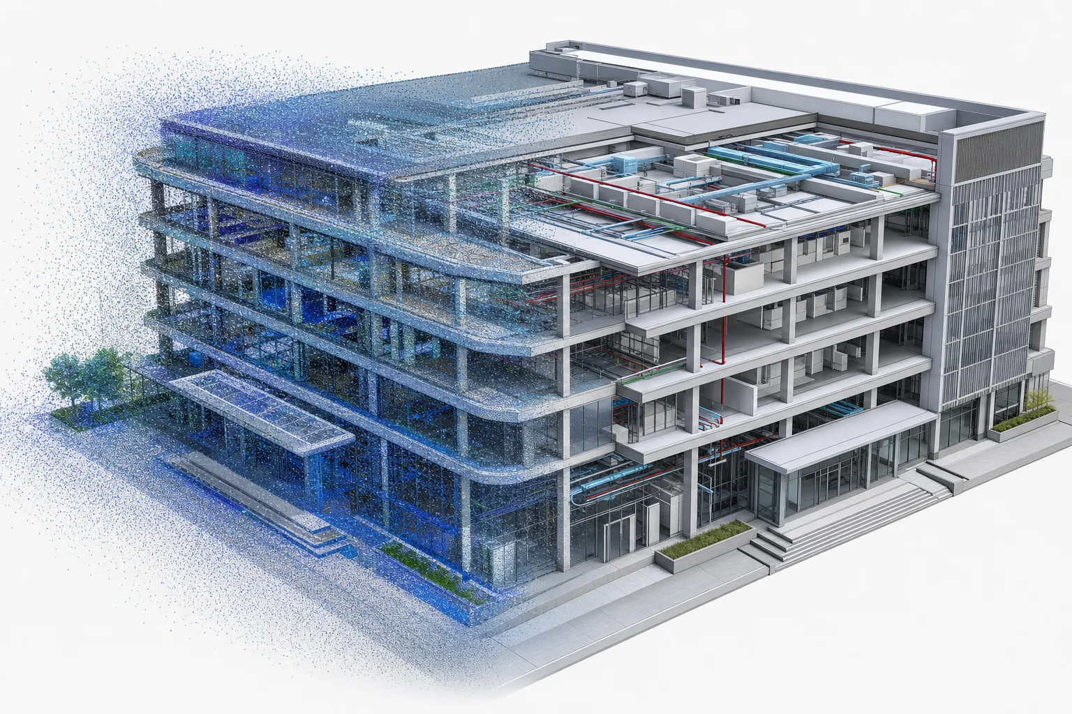
We preserve useful structure and metadata, remove unnecessary complexity and prepare design models for visualization and operational applications.
Capabilities
Source data, accuracy and intended use define the workflow. These capabilities can be combined without forcing the project into a fixed package.
Check versions, linked files, coordinates, units, categories and property coverage in RVT, IFC and DWG data.
Retain the identifiers and properties needed for search, filtering and data links while removing authoring-only content.
Correct conversion artifacts such as duplicate faces, inverted normals, lost materials and excessive tessellation.
Prepare GLB, GLTF, FBX or 3D Tiles with traceable object mapping and a tested loading structure.
Delivery Standard
Specific values depend on the source data and target environment. Applicable criteria are agreed at the start instead of relying on vague quality labels.
| Typical input | RVT, IFC, DWG, DXF and PDF |
|---|---|
| Primary output | GLB, FBX, OBJ and 3D Tiles |
| Quality focus | Structure retention and real-time performance |
| Asset hierarchy | Objects organized by building, floor, system, equipment or component |
| Runtime fit | Optimization for the target browser, desktop or mobile environment |
| Review method | Pilot approval, milestone previews, issue list and final validation |
Workflow
A representative pilot validates source quality, accuracy, visual language, hierarchy and performance early in the project.
Confirm scope, accuracy, formats, coordinates and intended use.
Lock hierarchy, detail, materials and performance on a representative asset.
Model, review and preview assets against the agreed manifest.
Verify files, versions, hierarchy, performance and delivery notes.
FAQ
Usually not. Authoring models often exceed browser geometry, material and object budgets and need information filtering, compression and streaming design.
Yes. Required component IDs and properties can be mapped separately for search, filtering and data binding.
Yes when plans are supported by elevations, sections, dimensions or photos. Existing 3D CAD can follow a cleanup and conversion route.
Review component coverage, coordinates, hierarchy mapping, materials, file size, initial loading and performance on the target device.
Project Contact
Include the asset scope, available source data, intended use and preferred formats. We will identify the right modeling and engine workflow.